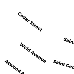
38 AUSTIN STREET
Owner Information
VEMIS, GEORGE
1744 LIBERTY STREET
BRAINTREE, MA 02184


Property Details
38 AUSTIN STREET is classified as a Three-Family Residential (Three family).
The primary structure on this property was built in 1920. There are 4,562ft2 of built area within this property. There is 2,966ft2 of residential/living space within this property. This property is listed as having 12 rooms.
38 AUSTIN STREET is valued at $615,800. The land is valued at $191,400 and the structures are valued at $424,400.
This property is in Zone G. Confirm with local Zoning Board authorities to ensure there are no overlays or other easements on this property.
The most recent deed for 38 AUSTIN STREET is recorded at the local registrar in Book 36019, Page 0577. 38 AUSTIN STREET was last sold on Wednesday, May 30, 2018 for $605,000.
Assessment data from fiscal year 2022.
Flood Data
According to the FEMA National Flood Hazard Layer, this property does not appear to be in a flood zone. It may also be in an area not yet reviewed. Nonetheless, confirm this information prior to taking any action.
To view the flood hazards around this property, create a FEMA "Firmette" Map of the area around 38 AUSTIN STREET.
Broadband Internet Providers
| Provider | Type | Bandwidth (mbps) | |
|---|---|---|---|
| Viasat Inc | Satellite | 100 | 3 |
| Verizon New England Inc. | Fiber | 940 | 880 |
| Comcast | Cable | 1000 | 35 |
| GCI Communication Corp. | Satellite | 0 | 0 |
| HughesNet | Satellite | 25 | 3 |
| VSAT Systems, LLC. | Satellite | 2 | 1 |
| Verizon New England Inc. | DSL | 7 | 0 |
Broadband service provider data from December 2020.
Adjacent Properties
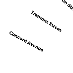
- 29 TREMONT STREET
Single Family Residential owned by KNUDSEN, DEBRA - 34 AUSTIN ST UNIR 1-L
Condominium owned by FISCHER, FERNANDA - 34 AUSTIN ST UNIT 1-R
Condominium owned by DANNA, JAMES J - 34 AUSTIN ST UNIT 2-L
Condominium owned by KELLY, JULIE - 34 AUSTIN ST UNIT 2-R
Condominium owned by FINN, MARK F - 34 AUSTIN ST UNIT 3 L
Condominium owned by VAN, SHAUNA - 34 AUSTIN ST UNIT 3-R
Condominium owned by MACKINNON, JOSEPH P - 34-34 AUSTIN ST UNIT -L
Other, Open Space owned by None - 21 TREMONT STREET
Two-Family Residential owned by A. DAVID LANDSCAPE & LAWN CARE, INC - 25 TREMONT STREET
Two-Family Residential owned by MAJEWSKI, BARBARA G - 42-44 AUSTIN ST #1
Condominium owned by KELLIHER, CAROLYN - 42-44 AUSTIN ST #2
Condominium owned by MEADE, STEPHEN JOHN & JOHANNA D - 42-44 AUSTIN ST #3
Condominium owned by CHAN, NORMAN - 42-44 AUSTIN STREET
Other, Open Space owned by SALEH, VIAN TRS